Презентація на тему «Tornado» (варіант 2)
PRESENTATION
IN
ENGLISH
TORNADO
by Katia Filimonova
10 form
A tornado is a violently rotating column of air that is in contact with both the surface of the earth and a cumulonimbus cloud or, in rare cases, the base of a cumulus cloud. They are often referred to as twisters or cyclones, although the word cyclone is used in meteorology, in a wider sense, to name any closed low pressure circulation. Tornadoes come in many shapes and sizes, but they are typically in the form of a visible condensation funnel, whose narrow end touches the earth and is often encircled by a cloud of debris and dust. Most tornadoes have wind speeds less than 110 miles per hour (177 km/h), are about 250 feet (76 m) across, and travel a few miles (several kilometers) before dissipating. The most extreme tornadoes can attain wind speeds of more than 300 miles per hour (483 km/h), stretch more than two miles (3.2 km) across, and stay on the ground for dozens of miles (more than 100 km).
Various types of tornadoes include the landspout, multiple vortex tornado, and waterspout. Waterspouts are characterized by a spiraling funnel-shaped wind current, connecting to a large cumulus or cumulonimbus cloud. They are generally classified as non-supercellular tornadoes that develop over bodies of water, but there is disagreement over whether to classify them as true tornadoes. These spiraling columns of air frequently develop in tropical areas close to the equator, and are less common at high latitudes. Other tornado-like phenomena that exist in nature include the gustnado, dust devil, fire whirls, and steam devil; downbursts are frequently confused with tornadoes, though their action is dissimilar.
Tornadoes have been observed on every continent except Antarctica. However, the vast majority of tornadoes occur in theTornado Alley region of the United States, although they can occur nearly anywhere in North America. They also occasionally occur in south-central and eastern Asia, northern and east-central South America, Southern Africa northwestern and southeast Europe, western and southeastern Australia, and New Zealand. Tornadoes can be detected before or as they occur through the use of Pulse-Doppler radar by recognizing patterns in velocity and reflectivity data, such as hook echoes ordebris balls, as well as through the efforts of storm spotters.
There are several scales for rating the strength of tornadoes. The Fujita scale rates tornadoes by damage caused and has been replaced in some countries by the updated Enhanced Fujita Scale. An F0 or EF0 tornado, the weakest category, damages trees, but not substantial structures. An F5 or EF5 tornado, the strongest category, rips buildings off their foundations and can deform largeskyscrapers. The similar TORRO scale ranges from a T0 for extremely weak tornadoes to T11 for the most powerful known tornadoes. Doppler radar data, photogrammetry, and ground swirl patterns (cycloidal marks) may also be analyzed to determine intensity and assign a rating.
Etymology
The word tornado is an altered form of the Spanish word tronada, which means "thunderstorm". This in turn was taken from the Latin tonare, meaning "to thunder". It most likely reached its present form through a combination of the Spanish tronada and tornar ("to turn"); however, this may be a folk etymology. A tornado is also commonly referred to as a "twister", and is also sometimes referred to by the old-fashioned colloquial term cyclone.The term "cyclone" is used as a synonym for "tornado" in the often-aired 1939 film The Wizard of Oz. The term "twister" is also used in that film, along with being the title of the 1996 tornado-related film Twister.
Definitions
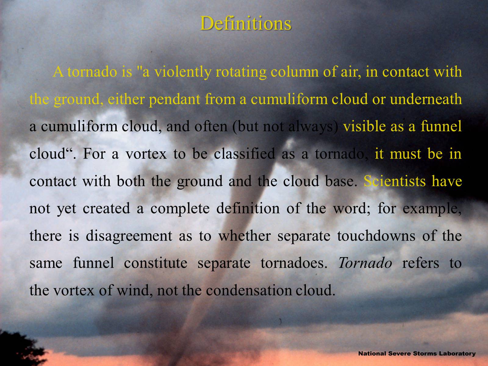
A tornado is "a violently rotating column of air, in contact with the ground, either pendant from a cumuliform cloud or underneath a cumuliform cloud, and often (but not always) visible as a funnel cloud“. For a vortex to be classified as a tornado, it must be in contact with both the ground and the cloud base. Scientists have not yet created a complete definition of the word; for example, there is disagreement as to whether separate touchdowns of the same funnel constitute separate tornadoes. Tornado refers to the vortex of wind, not the condensation cloud.
Funnel cloud
A tornado is not necessarily visible; however, the intense low pressure caused by the high wind speeds (as described by Bernoulli's principle) and rapid rotation (due to cyclostrophic balance) usually causes water vapor in the air to condense into cloud droplets due to adiabatic cooling. This results in the formation of a visible funnel cloud or condensation funnel.
There is some disagreement over the definition of funnel cloud and condensation funnel. According to the Glossary of Meteorology, a funnel cloud is any rotating cloud pendant from a cumulus or cumulonimbus, and thus most tornadoes are included under this definition. Among many meteorologists, the funnel cloud term is strictly defined as a rotating cloud which is not associated with strong winds at the surface, and condensation funnel is a broad term for any rotating cloud below a cumuliform cloud.
Tornadoes often begin as funnel clouds with no associated strong winds at the surface, and not all funnel clouds evolve into tornadoes. Most tornadoes produce strong winds at the surface while the visible funnel is still above the ground, so it is difficult to discern the difference between a funnel cloud and a tornado from a distance.
Size and shape
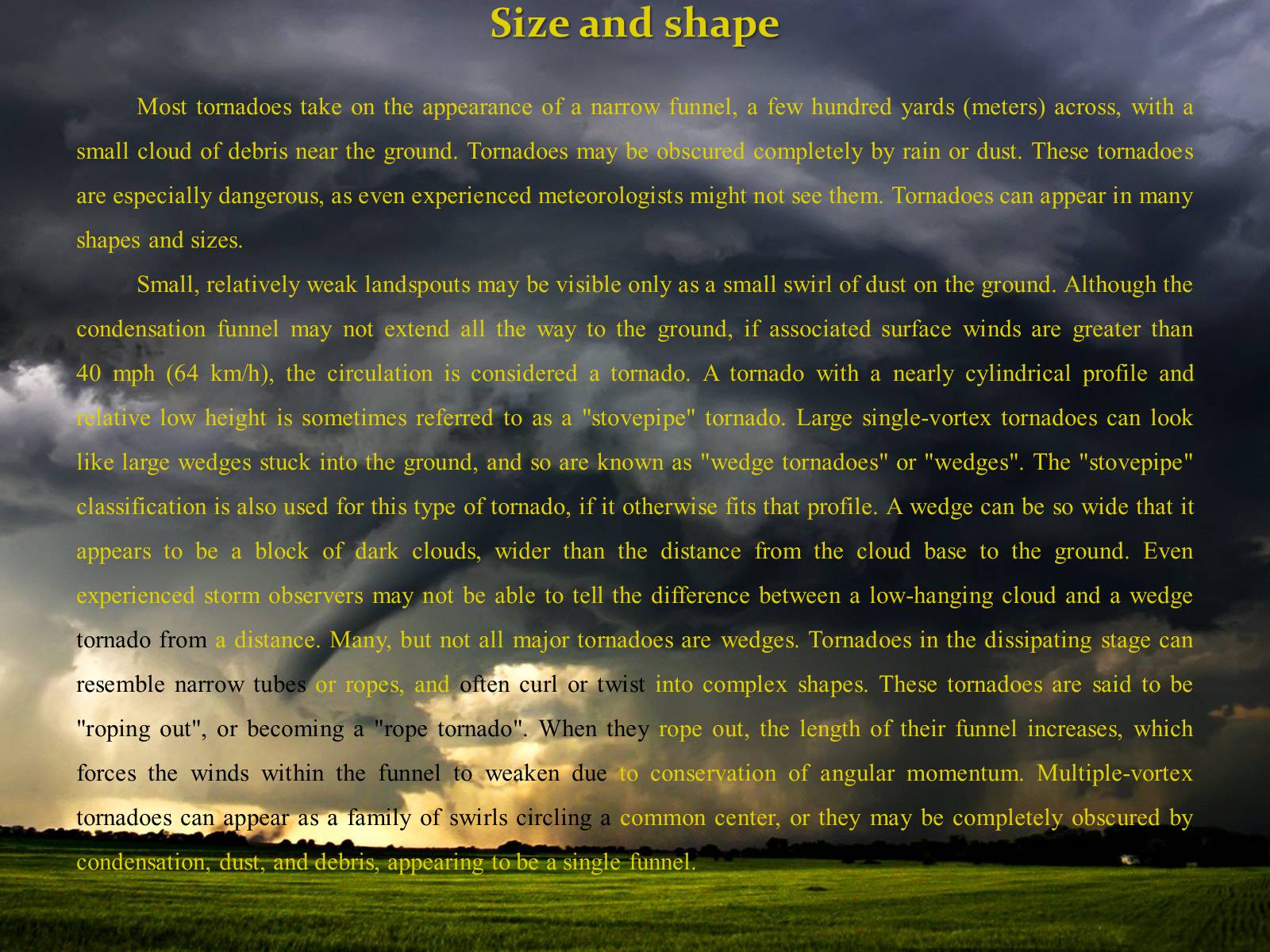
Most tornadoes take on the appearance of a narrow funnel, a few hundred yards (meters) across, with a small cloud of debris near the ground. Tornadoes may be obscured completely by rain or dust. These tornadoes are especially dangerous, as even experienced meteorologists might not see them. Tornadoes can appear in many shapes and sizes.
Small, relatively weak landspouts may be visible only as a small swirl of dust on the ground. Although the condensation funnel may not extend all the way to the ground, if associated surface winds are greater than 40 mph (64 km/h), the circulation is considered a tornado. A tornado with a nearly cylindrical profile and relative low height is sometimes referred to as a "stovepipe" tornado. Large single-vortex tornadoes can look like large wedges stuck into the ground, and so are known as "wedge tornadoes" or "wedges". The "stovepipe" classification is also used for this type of tornado, if it otherwise fits that profile. A wedge can be so wide that it appears to be a block of dark clouds, wider than the distance from the cloud base to the ground. Even experienced storm observers may not be able to tell the difference between a low-hanging cloud and a wedge tornado from a distance. Many, but not all major tornadoes are wedges. Tornadoes in the dissipating stage can resemble narrow tubes or ropes, and often curl or twist into complex shapes. These tornadoes are said to be "roping out", or becoming a "rope tornado". When they rope out, the length of their funnel increases, which forces the winds within the funnel to weaken due to conservation of angular momentum. Multiple-vortex tornadoes can appear as a family of swirls circling a common center, or they may be completely obscured by condensation, dust, and debris, appearing to be a single funnel.
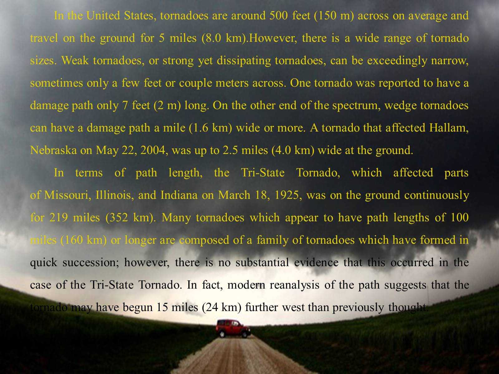
In the United States, tornadoes are around 500 feet (150 m) across on average and travel on the ground for 5 miles (8.0 km).However, there is a wide range of tornado sizes. Weak tornadoes, or strong yet dissipating tornadoes, can be exceedingly narrow, sometimes only a few feet or couple meters across. One tornado was reported to have a damage path only 7 feet (2 m) long. On the other end of the spectrum, wedge tornadoes can have a damage path a mile (1.6 km) wide or more. A tornado that affected Hallam, Nebraska on May 22, 2004, was up to 2.5 miles (4.0 km) wide at the ground.
In terms of path length, the Tri-State Tornado, which affected parts of Missouri, Illinois, and Indiana on March 18, 1925, was on the ground continuously for 219 miles (352 km). Many tornadoes which appear to have path lengths of 100 miles (160 km) or longer are composed of a family of tornadoes which have formed in quick succession; however, there is no substantial evidence that this occurred in the case of the Tri-State Tornado. In fact, modern reanalysis of the path suggests that the tornado may have begun 15 miles (24 km) further west than previously thought.
Appearance
Tornadoes can have a wide range of colors, depending on the environment in which they form. Those that form in dry environments can be nearly invisible, marked only by swirling debris at the base of the funnel. Condensation funnels that pick up little or no debris can be gray to white. While traveling over a body of water (as a waterspout), tornadoes can turn very white or even blue. Slow-moving funnels, which ingest a considerable amount of debris and dirt, are usually darker, taking on the color of debris. Tornadoes in the Great Plains can turn red because of the reddish tint of the soil, and tornadoes in mountainous areas can travel over snow-covered ground, turning white.
Photographs of the Waurika, Oklahoma tornado of May 30, 1976, taken at nearly the same time by two photographers. In the top picture, the tornado is lit with the sunlight focused from behind the camera, thus the funnel appears bluish. In the lower image, where the camera is facing the opposite direction, the sun is behind the tornado, giving it a dark appearance.
Lighting conditions are a major factor in the appearance of a tornado. A tornado which is "back-lit" (viewed with the sun behind it) appears very dark. The same tornado, viewed with the sun at the observer's back, may appear gray or brilliant white. Tornadoes which occur near the time of sunset can be many different colors, appearing in hues of yellow, orange, and pink.
Dust kicked up by the winds of the parent thunderstorm, heavy rain and hail, and the darkness of night are all factors which can reduce the visibility of tornadoes. Tornadoes occurring in these conditions are especially dangerous, since only weather radar observations, or possibly the sound of an approaching tornado, serve as any warning to those in the storm's path. Most significant tornadoes form under the storm's updraft base, which is rain-free, making them visible.Also, most tornadoes occur in the late afternoon, when the bright sun can penetrate even the thickest clouds.Night-time tornadoes are often illuminated by frequent lightning.
There is mounting evidence, including Doppler On Wheels mobile radar images and eyewitness accounts, that most tornadoes have a clear, calm center with extremely low pressure, akin to the eye of tropical cyclones. This area would be clear (possibly full of dust), have relatively light winds, and be very dark, since the light would be blocked by swirling debris on the outside of the tornado. Lightning is said to be the source of illumination for those who claim to have seen the interior of a tornado.
Rotation
Tornadoes normally rotate cyclonically (when viewed from above, this is counterclockwise in the northern hemisphere and clockwise in the southern). While large-scale storms always rotate cyclonically due to the Coriolis effect, thunderstorms and tornadoes are so small that the direct influence of the Coriolis effect is unimportant, as indicated by their large Rossby numbers. Supercells and tornadoes rotate cyclonically in numerical simulations even when the Coriolis effect is neglected. Low-level mesocyclones and tornadoes owe their rotation to complex processes within the supercell and ambient environment.
Approximately 1 percent of tornadoes rotate in an anticyclonic direction in the northern hemisphere. Typically, systems as weak as landspouts and gustnadoes can rotate anticyclonically, and usually only those which form on the anticyclonic shear side of the descending rear flank downdraft in a cyclonic supercell. On rare occasions, anticyclonic tornadoes form in association with the mesoanticyclone of an anticyclonic supercell, in the same manner as the typical cyclonic tornado, or as a companion tornado either as a satellite tornado or associated with anticyclonic eddies within a supercell.
Electromagnetic, lightning, and other effects
Tornadoes emit on the electromagnetic spectrum, with sferics and E-field effects detected. There are observed correlations between tornadoes and patterns of lightning. Tornadic storms do not contain more lightning than other storms and some tornadic cells never produce lightning. More often than not, overall cloud-to-ground (CG) lightning activity decreases as a tornado reaches the surface and returns to the baseline level when the tornado lifts. In many cases, intense tornadoes and thunderstorms exhibit an increased and anomalous dominance of positive polarity CG discharges. Electromagnetics and lightning have little or nothing to do directly with what drives tornadoes (tornadoes are basically a thermodynamic phenomenon), although there are likely connections with the storm and environment affecting both phenomena.
Luminosity has been reported in the past and is probably due to misidentification of external light sources such as lightning, city lights, and power flashes from broken lines, as internal sources are now uncommonly reported and are not known to ever have been recorded. In addition to winds, tornadoes also exhibit changes in atmospheric variables such astemperature, moisture, and pressure. For example, on June 24, 2003 near Manchester, South Dakota, a probe measured a 100 mbar (hPa) (2.95 inHg) pressure decrease. The pressure dropped gradually as the vortex approached then dropped extremely rapidly to 850 mbar (hPa) (25.10 inHg) in the core of the violent tornado before rising rapidly as the vortex moved away, resulting in a V-shape pressure trace. Temperature tends to decrease and moisture content to increase in the immediate vicinity of a tornado.
Detection
Rigorous attempts to warn of tornadoes began in the United States in the mid-20th century. Before the 1950s, the only method of detecting a tornado was by someone seeing it on the ground. Often, news of a tornado would reach a local weather office after the storm. However, with the advent of weather radar, areas near a local office could get advance warning of severe weather. The first public tornado warnings were issued in 1950 and the first tornado watches and convective outlooks in 1952. In 1953 it was confirmed that hook echoes are associated with tornadoes. By recognizing these radar signatures, meteorologists could detect thunderstorms probably producing tornadoes from dozens of miles away.

THANKS
FOR
WATCHING